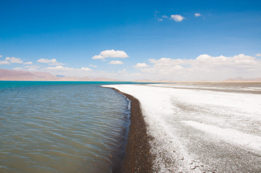
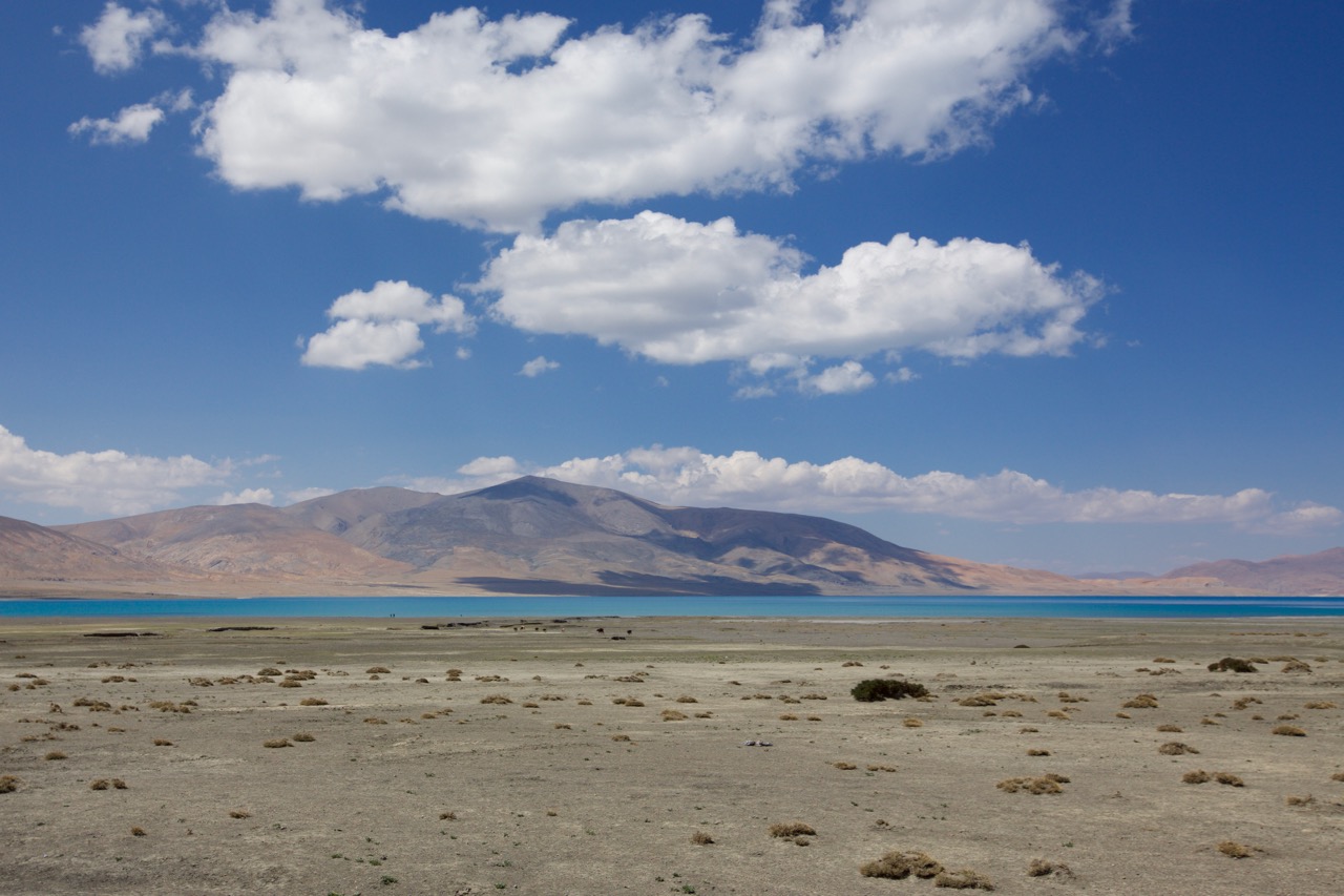
Imagine you are a flea on the head of a king with a crown of peaks all around you. The stretch of road on the way to Peiku Tso is something like that. The king’s forehead is facing south with the crown jewel set upon the tallest point – Shisapangma – the 8,013 meter point that is the highest mountain completely within China. The plain that forms the valley between these majestic points is arid and cracked from the baking sun. Nearly 20 kilometers away you begin to see an almost fluorescent blue line on the horizon in the west. It wisps and worms in the heat waves. It is so blue, you think perhaps it is a mirage. It makes the clean deep blue sky look gray in comparison. The road takes you within a kilometer at its nearest point to the lake. The wind nearly blows your hat off as you approach the water and you see what seems to be the white crash of waves on the shoreline. But when you arrive, you are amazed to find there are no waves – in fact, hardly any ripples on the water. And the white strip you saw from a distance is actually a five meter wide strip of dried salt all along the shore. At eye level the lake seems pretty ordinary and you realize it had pulled some mirage-like tricks on you from a distance. The neon turquoise line you saw from a distance no longer appears as stark. But the setting of this jewel among these snowy gods and cotton ball clouds is priceless.
Lake Peiku Tso from a distance.