An agricultural region dotted with big, beautiful Tibetan houses, Dawu (རྟའུ།) lies in the Garzê Tibetan Autonomous Prefecture in northwestern Sichuan Province, China. Dawu, known as Daofu (道孚) in the Chinese language, is accessible by road from Kangding (219 kilometers) and Chengdu (585 kilometers). Daofu region lies at an average altitude …
Kham Tibet
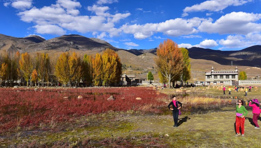
Kham Tibet straddles three provinces and one autonomous region in modern day PRC: Sichuan, Qinghai, Yunnan, and the Tibet Autonomous Region (TAR). The region of Kham is very diverse geographically, containing large mountain ranges and vast grasslands. Four major rivers and six mountain ranges combine to make the scenery of this part of Tibet breathtaking. The headwaters of the Mekong, the Yangtse, the Yalong and the Salween, flow out of Kham Tibet from the East and South-Eastern parts of the Tibetan plateau.
Khamba Tibetans
The people of Kham Tibet, known as the Khambas (or Khampas) live up to their reputation for bravery and horsemanship when they compete in summer “horse racing” festivals. However, they are also known for cheerfully enduring a beautiful yet sometimes harsh environment, especially in the winter months. The huge mountain ranges that form the valleys through which the rivers flow are responsible for the divergent cluster of dialects that have developed due to the relative seclusion of these communities throughout most of history.
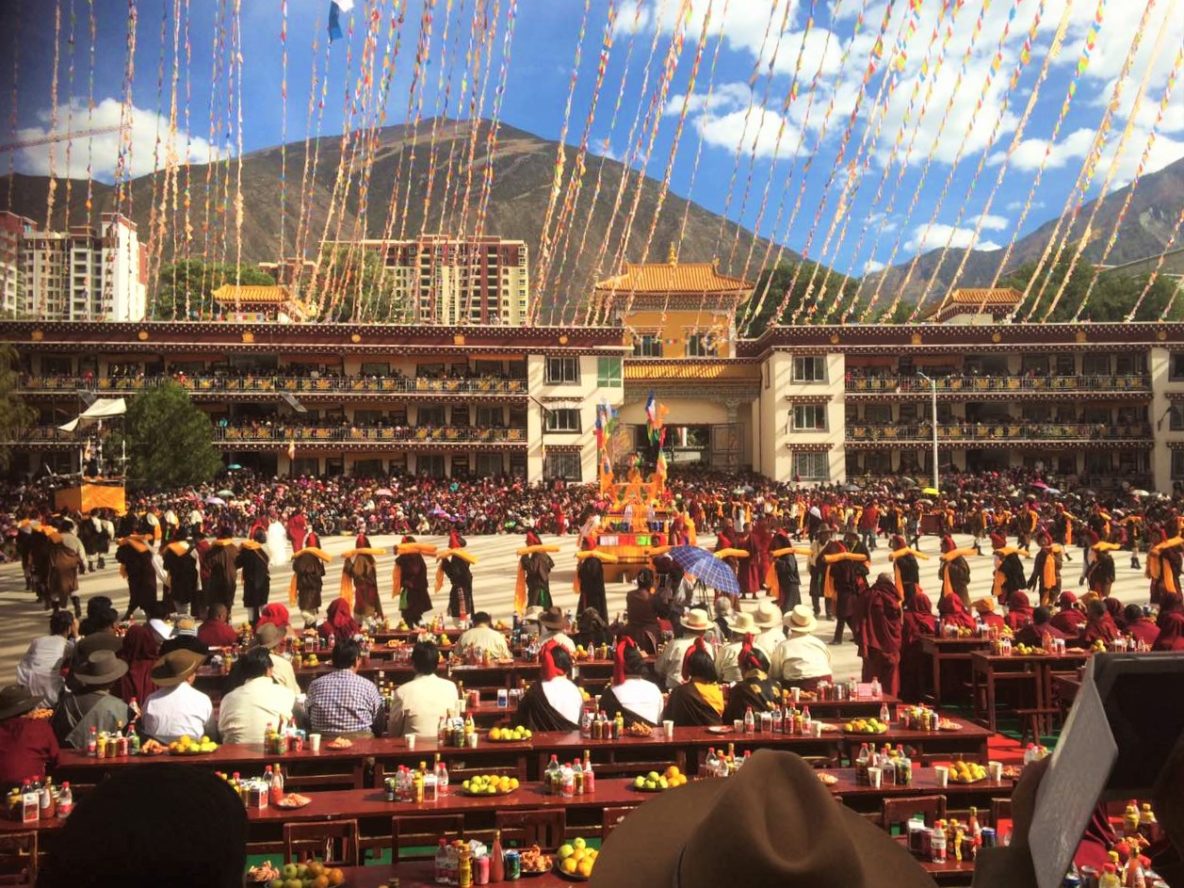
The traditional occupations of nomadic pastoralism and agriculture are still the backbone of Kham society while increasing numbers find positions in the growing towns as government workers or employees in local small businesses. It’s not unusual in one family to find hard-working farmers who still depend on the land, monks or nuns committed to lifelong service in a monastery, and young people with college degrees.
Entering Kham Tibet from Sichuan
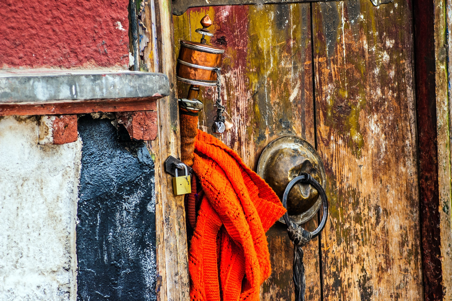
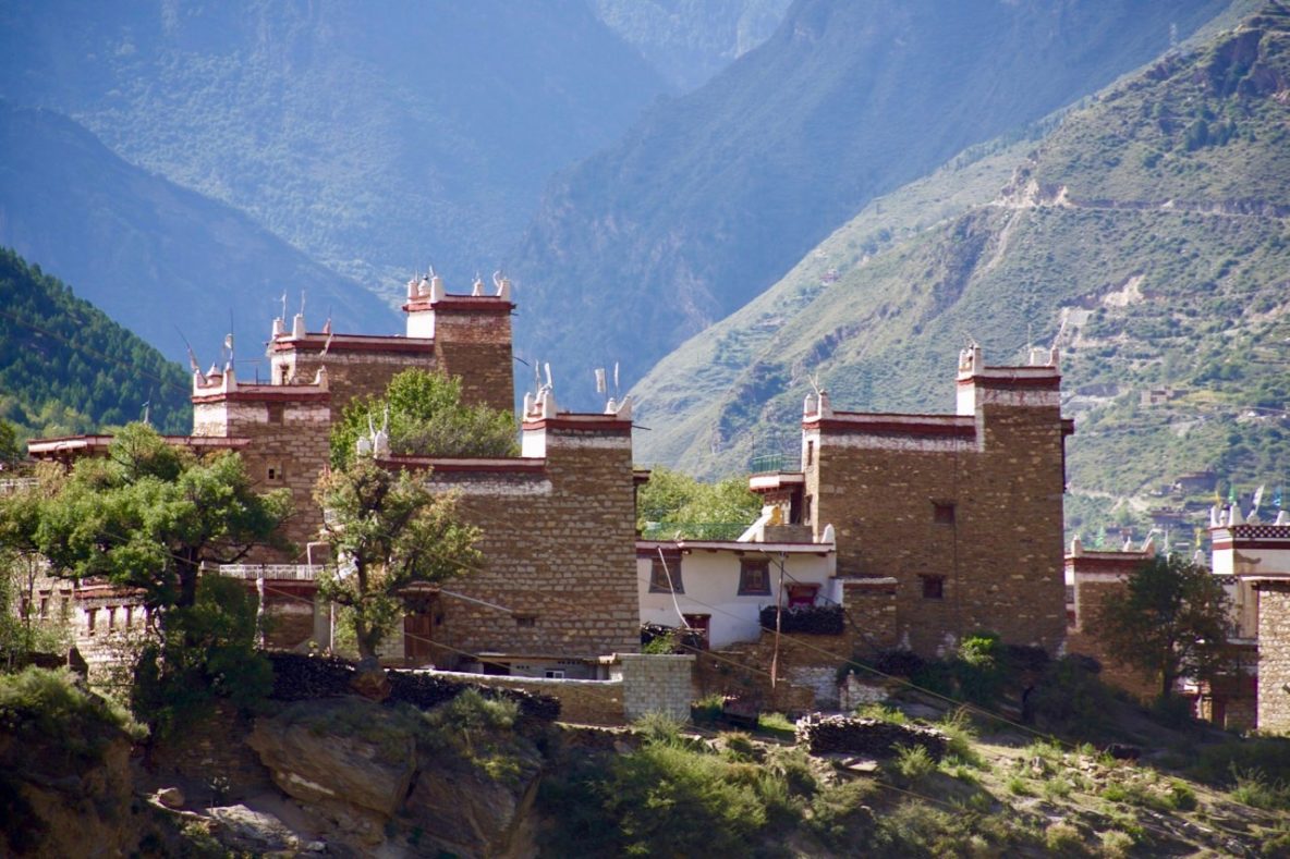
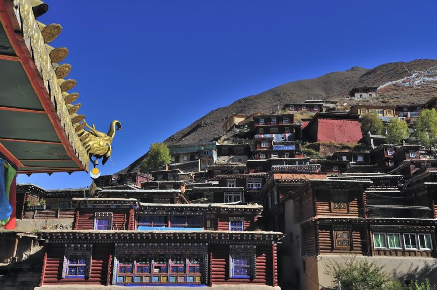
Beginning in the Sichuan basin and ascending to the breath-taking heights of the Tibetan plateau, your lungs are conscious of breaking out of the sub-tropical soupy air of the lowlands to the invigorating cool and thin air that is home to one of the highest cultures in the world. Everything changes. Faces for starters: round and flat Chinese faces are replaced by the long and sharp-featured ones typical of Tibetans. High cheek bones tinted red by wind and sun, along with gold teeth, are emblematic of this people group comprised of a majority of farmers and nomads. Replacing modernity, temples and traditional homes dot the landscape and are often home to welcoming and friendly hosts. The landscape has surprising variance: tight narrow valleys with lush vegetation and steep ascents marked by countless switchbacks carry you to the vastness of the Tibetan plateau.
Transportation
The Chinese cities of Chengdu, Xining, and Kunming are the main gateway cities to Kham Tibet. From these three cities there is convenient access to a lot of the region via land or air. Public buses are more comfortable than most people think these days, and if you are traveling in a group it very economical to hire a private vehicle. Your guesthouse or hotel should be able to assist with arranging your ground transport depending on your needs. Airports are also conveniently located in Kangding, Shangri-La, Daocheng, Yushu, and Chamdo.
For a helpful introduction to the geography of Tibet’s three regions relative to each other and the rest of China, be sure to visit our page on Tibet Travel Essentials.

Dabpa (Daocheng)
Dapba (འདབ་པ།) is located in Daocheng County in the Garze Autonomous Prefecture in Southwest Sichuan, close to the border of Northwest Yunnan. The town is at an altitude of 3,750 meters and is the best starting point for the Tibetan areas of western and southern Sichuan. Dapba is known as Daocheng …
Rongtrak (Danba)
Rongtrak (རོང་བྲག), also known in Chinese as Danba County (丹巴), is situated around 350 kilometers west of Chengdu, in the Garze Tibetan Autonomous Prefecture of western Sichuan Province. As the county seat, it is a bustling town that sits in a tight canyon on the banks of the Dadu River …
Bathang (Batang)
Lying in the Garze Tibetan Autonomous Prefecture in Sichuan Province of China, Bathang (འབའ་ཐང་།) also known as Batang Town (巴塘) in Chinese , is a fertile area at an altitude of 2,700 meters. The town is located on the main road between Lhasa and Chengdu, overlooking the Jinsha River (translated as …
Axu
Axu (ཨ་ཕྱུག)Town and Axu Grasslands are situated in Dege County in the Garze Tibetan Autonomous Prefecture of Sichuan, China. It is an isolated region in eastern Tibet that includes green pastures dotted with sturdy yaks, snowy, lofty and rugged mountains and crystal clear lakes. The small Axu Town and its …
Kawa Gabo
Highest Peak On the border of Zayu, Zogang, and Deqen County in Yunnan lies Kawa Gabo(ཁ་བ་དཀར་པོ།), the highest peak along the Meili Xue Shan, or the “Mainri Snowy Range”. As a whole, this peak and range are a part of the much larger Hengduan Shan, which borders the eastern side …
Dzongsar Monastery
History of Dzongsar Monastery Throughout its dozen or so centuries of history, the Dzongsar Monastery (རྫོང་སར་དགོན།) has seen expansion, transformation, utter destruction and ultimately, rebirth. While it may not have been restored to its former glory, what the monastery has seen and accomplished over the years is nonetheless remarkable. Located …
Palyul (Baiyu) Monastery

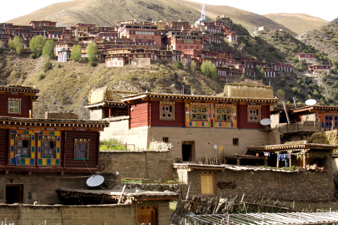
Location Initially built in 1665, Palyul Monastery (དཔལ་ཡུལ་དགོན།), also known as Baiyu Monastery( 白玉寺) in Chinese sits above the many homes along the hillside, at the center of a small village in the Ganzi Prefecture in the western part of Sichuan province. The monastery overlooks the town and valley below …
- Page 2 of 2
- 1
- 2